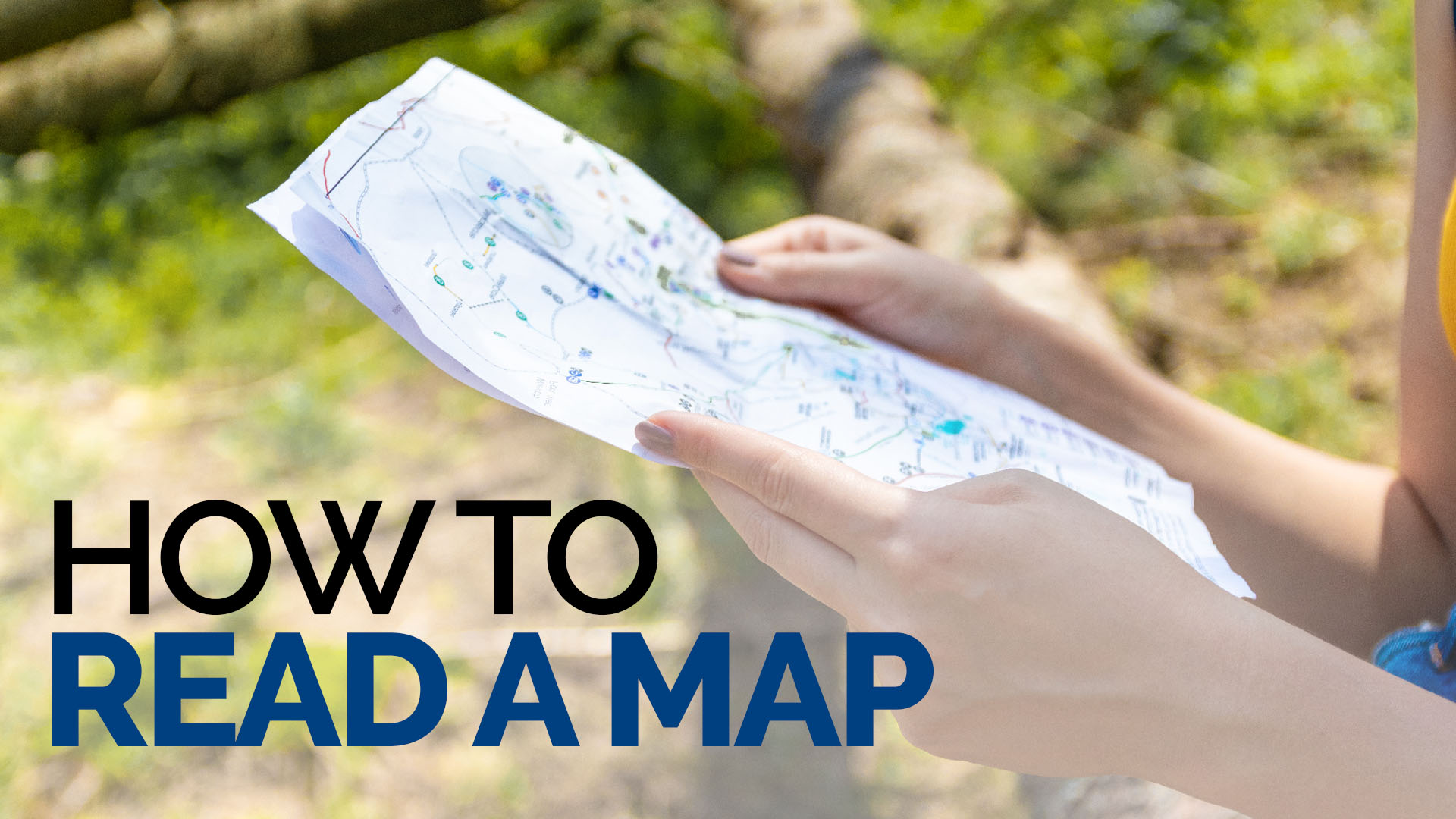

You could argue that you can always rely on an app or ‘the map on your phone’ but when you need it most, technology can let you down. And that means turning to a printed map to find your way. But can you read a map?
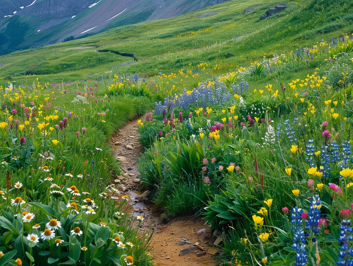
It’s a skill that you may only need to rely on in the direst of situations but being able to read a map to pinpoint your location, as well to safely navigate your way to a designated point is essential. For wild campers or anyone wanting to get back to the basics of camping, knowing where you are is critical.
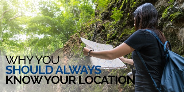
Why you should always know your location
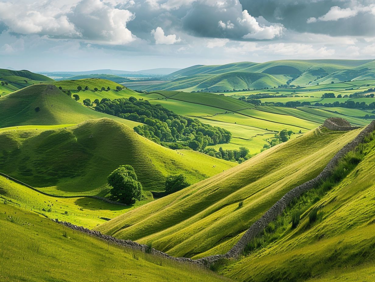
In the UK, you are probably never far from civilisation. There are very few places where you would be completely marooned or cut-off, aside from the wilds of Wales or the depth of the Highlands or the vast expanse of English moors.
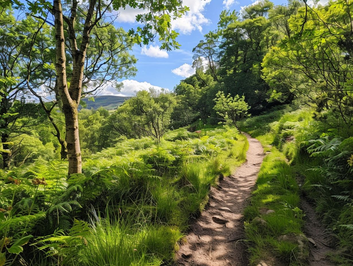
But here’s the thing – if you need help, telling the emergency services you are looking at green rolling hills or dense woodland does not give them much to go on.
Being able to pinpoint your location could be the one piece of information that guides in help when you need it most. It also gives you peace of mind.
If you expand your camping or walking horizons to foreign or unfamiliar climes, there will be areas that are truly detached from civilisation. The vast expanse of the Australian outback is an extreme example, but it illustrates the point. You can drive or walk for days without seeing another being.
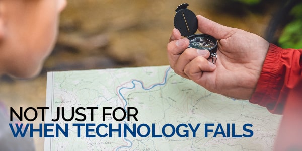
Not just for when technology fails
Being able to read a map is a useful skill and one that is easy to pick up and use.
1 Choose the right type of map
Various maps are produced to give the user the information that they need. For example, a road map is a visual display of the roads that criss-cross an area of the country. Different colours show what kind of roads there are from small, minor B roads or country lanes to three-laned motorways.
This type of map will have other features such as buildings and other areas but won’t have a topographical layout to it. A topographical map is one that walkers and campers use and shows, literally, the ‘lie of the land’.
The various lines – contour lines – will show you natural features such as hills and mountains. The closer these contour lines, the steeper the hill.
HINT – you’ll need a map that covers the area you plan on walking or camping in. And check that your walk doesn’t cross the printed map boundary. If it does, you’ll need another map.
2 Finding north
You’ll have heard the phrase “get your bearings” and this is exactly what finding north is all about. When you know which direction you are facing, you can start the process of mapping out your route to reach your chosen destination.
You’ll need a compass for this as this is the easiest and simplest way of finding north. To point your map north, simply lie the compass flat on the map pointing towards the top and rotate until you and the map are pointing north – it really is that simple.
3 Finding where you are
A grid reference will give you your exact location but if you don’t where on the map you are, you won’t know what grid reference to give your rescuers or anyone else you may be joining up with.
Still facing north and with your map in the same position, have a good look at your surroundings, identifying topographic features. This could be a very steep hill to your left (to the west), the forest behind you (south) and the line of electricity pylons to your right (to the east). Straight ahead (due north) is a track.
All these features will be on the map. You can work out what these are by looking at the symbols used – there’ll be a key on your map, usually on the side, that tell you what these are.
Contours lines that are tightly packed together will tell you a hillside is steep, the rather comical, simple symbol for trees, all clustered together, will show you a woodland and the electricity pylons will also be marked for you to see. You’ll also notice that different types of walkways, e.g. farm tracks and public footpaths.
When you identify a spot on the map that corresponds to these features, you’ll know where you are.
HINT – always used fixed features, such as pylons and woodlands, rather than things that move as these won’t be included on the map.
4 Grid reference
You’ll notice on a map lines that run from vertically and horizontally, forming a grid of large squares.
- Latitude – these are the horizontal lines, stretching from left to right and is also known as ‘eastings’
- Longitude – these are the vertical lines that stretch from the base of the map to the top and are also known as ‘northings’
The squares are to scale – another piece of information that will be printed on the map key. The OS Landranger maps, for example, cover 10km in each square, giving you an idea of the how far away something is.
Running along the map from the bottom left-hand corner – the eastings – you’ll see numbers or sometimes letters, and from the same corner up the map, the northings.
Grid references are given as two group, eastings and nothings. If the eastings are labelled A to G, for example, and the northings labelled 1 to 7, you’ll find grid reference C3 by running one finger along the horizontal scale until you reach box C and then run your finger up the northings line until you reach the third box. Your destination will be in this box.
The more accurate the map, the more numbers you’ll have in a grid reference. There are four-figure grid reference as well as more accurate 6-figure grid references.
Find out more on how to read a map
Map reading is not difficult, but it is a skill that needs to be practised and used regularly. You can use these skills on digital as well as printed maps.